
Title Survey
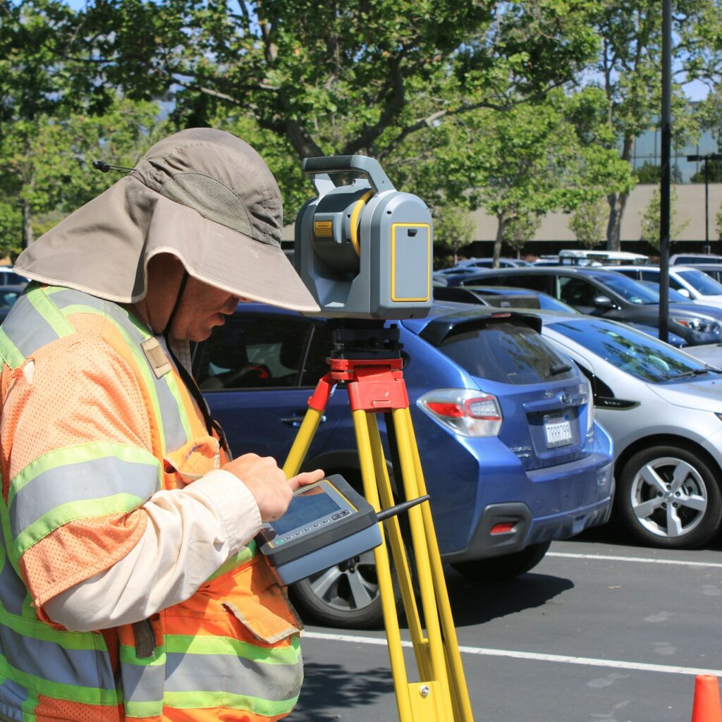
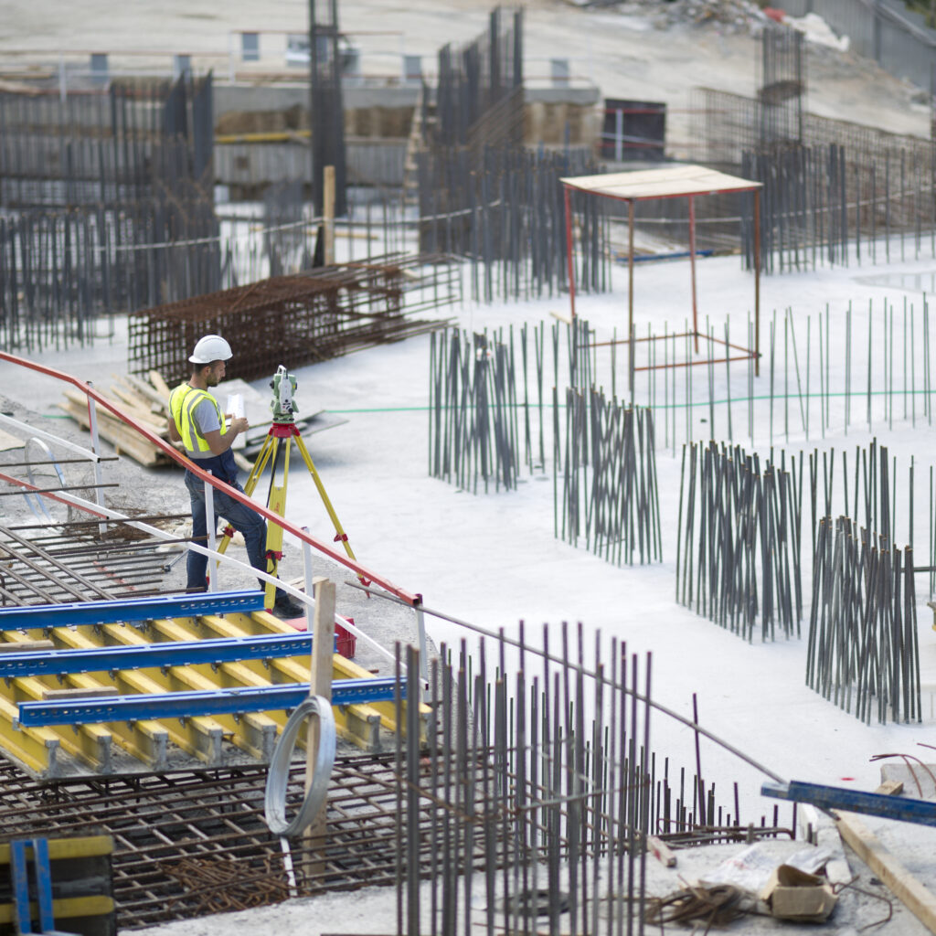
This is a survey that defines property lines on the ground and the extent of property ownership. Property corners are typically witnessed by monuments or markers. Concrete monuments in the ground, iron rods, or pipes act as these markers. As a result, a map is produced. This map shows the property boundary lines, structures, easements, rights-of-way, and other factors influencing Land Use and Property Rights ownership of land. and other Improvements and features located on the parcel about these property boundary lines are plated on the document.


Architectural Survey
A Topographic/Architectural survey is used for design and development purposes. It is an important document used by architects and engineers that shows the location of all physical improvements such as space on the property including Property Boundaries, Buildings, Improvements, Fences, Elevations, Land contours, Outcrops, Hydrants, Sewer and Water, Trees, Streams, etc. with relation to property lines. with detailed measurements of these features so that architects and engineers can rely upon detailed measurements of these features to design and coordinate future development and feasibility studies of the site.
Stakeout / Benchmark Survey
Stakeout surveying is used to mark physical locations in a survey to establish the location of structures, objects, and/or property corners based on proposed plans. Surveyors stake out property corners to define the limits of a construction site. An elevation mark is established on-site representing a specific vertical value referred to in a plan. The building foundation is usually staked out using access lines created with certain offsets around the proposed structure. Structural building elements (i.e. columns) are staked out by establishing Axis and Grid Lines.


As-Built Foundation Survey
A foundation survey shows the location of the foundation of a home or building relative to the property lines. The measurements and elevations are taken on all characteristic points and plotted into a Foundation Survey map that can be later analyzed and compared to the Plans Plot Plan, Site Plan, or Subdivision Plan to ensure that the foundation was constructed in the authorized location. When the location of the finished foundation is checked and approved the construction building of the remainder of the structure can commence.
As-Built Survey
An As-built survey shows improvements to the land as they exist at a particular point in time. A built Survey is required to verify that site improvements were made by approved plans.


Subdivision Survey
A Subdivision Survey is a plot or map based on a survey of a parcel of land. A surveyor will draw boundary lines inside the larger parcel by local zoning laws and regulations to indicate the creation of new boundary lines and roads and to create new Zoning or Tax Lots.
Axis/Grid Lines Survey
Axis/Grid Lines Surveys established are established by the location of structures, objects, and/or property corners based on proposed plans. Surveyors stake out property corners to define the limits of a construction site. The building foundation is usually staked out using access lines created with certain offsets around the proposed structure. Structural building elements (i.e. columns) are staked out by establishing Axis and Grid Lines.


Final Survey
This survey is commonly referred to as an "As-Built survey." A Final survey is mandated by the NYC Department of Buildings upon completion of construction, detailing the positions and elevations of newly erected structures. Additionally, it outlines any encroachments onto neighboring properties, the grading of sidewalks, storm drainage, and sidewalk infrastructure.
Environmental Easement Survey
An Environmental Easement Survey is mandatory according to the New York State Department of Environmental Conservation for sites enrolled in the Superfund and Brownfield Cleanup programs. This survey delineates the positions of all structures, and encroachments on the surveyed property, and includes a metes and bounds description.
